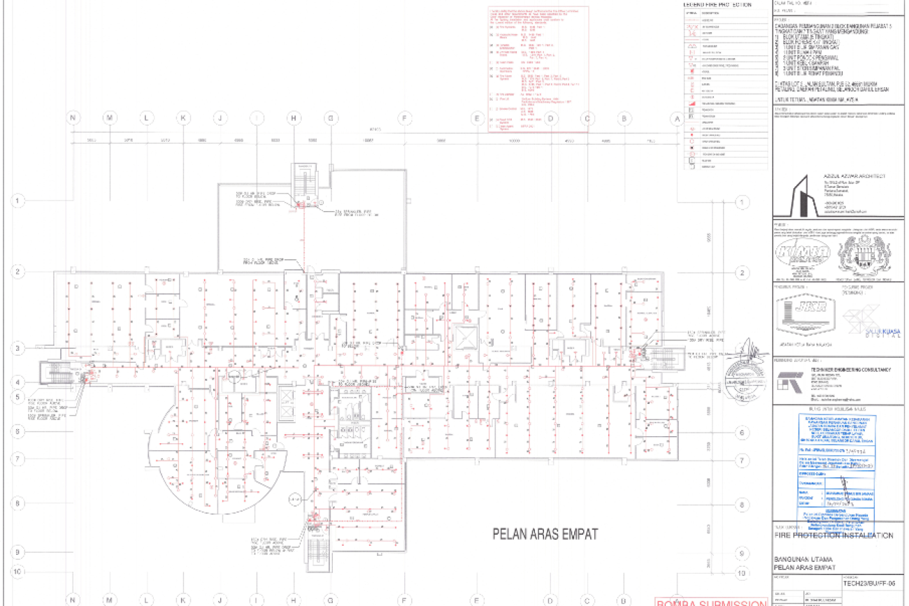
2D CAD documentation
HIGHLY ACCURATE FLOOR PLANS, SECTIONS AND ELEVATIONS CAN BE GENERATED IN A VARIETY OF FORMATS AND LEVELS OF DETAIL. THIS WAY WE DELIVER PRODUCTS TAILORED TO SUIT YOUR SPECIFIC REQUIREMENTS
Point cloud-based 2D documentation offers greater flexibility and precision compared to traditional survey data collection methods. Specification is crucial for efficient data extraction, saving time and money. Forward planning maximises the advantage of point cloud technology, including elevations, floor plans, sections, and ceilings drawings.
FOR EVERY 2D CAD PROJECT, IT IS NECESSARY TO DETERMINE THE LEVEL OF DETAIL (LOD) FOR THE DELIVERABLES AT QUOTATION STAGE
2D architectural drawings from point clouds can be accurate and detailed, but their accuracy depends on the point cloud’s accuracy. Bandings for historic 1:50 and 1:100 plot scales are generally adequate. Determine project requirements and elements at the quotation stage, as level of detail and accuracy impact time and cost. Three levels of detail (Lod) for 2D deliverables can be enhanced or reduced to suit unique needs.


