

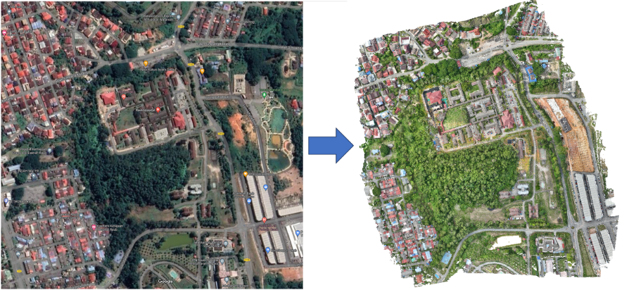
Urban Planning
Laser scanning is an efficient method for capturing urban areas, with terrestrial tripod-mounted scanning being the best. Mobile or UAV scanning can be organised for larger or inaccessible areas.
Products include:
• 2D or 3D Topographical Surveys
• Digital Terrain Models
• Rights of Light Modelling
• Processing and production of point cloud collected from airborne devices
BENEFITS OF 3D LASER SCANNING:
Complexity
Complex and inaccessible areas can be captured safely and quickly compared to traditional methods.
Accuracy
High detail and high precision.
Visualisations
Marketing content can be produced (in the form of visualisations).
Scale
Ideal for large scale areas.
